-
 ×
- Hem
- Konstutskrifter ▸
- Konstnärer ▸
- Kategorier ▸
- Konststilar ▸
- Bildram ▸
- Tryckmedia ▸
- Alla tryckmedia
- Canvas Leonardo (satin)
- Canvas Salvador (matt)
- Canvas Raphael (matt)
- FineArt Photo Matte
- FineArt Photo Satin
- FineArt Photo Baryte
- FineArt Photo Glossy
- Akvarell Kartong Munch
- Akvarell Kartong Renoir
- Akvarell Kartong Turner
- Akvarell Kartong Dürer
- Natural Line Hemp
- Natural Line Rice
- Kozo White, 110g
- Kozo Natural, 110g
- Inbe White, 125g
- Unryu, 55g
- Bamboo, 110g
- Premio Unryu, 165g
- Murakumo Natural, 42g
- Bizan Natural, 300g
- Bizan White, 300g
- Aluminiumkomposit 3mm
- Acrylglas 5mm
- Beställ provexemplar
- Vilket tryckmedium passar?
Duk
Fotopapper
Akvarellkartong
Natural Line
Japanskt papper
Specialmedia
Mer information
- Hjälp & Service ▸
- Kontakta oss
- Sälj din konst
- Vanliga frågor
- Lediga tjänster
- Reklamation
- Beställ prover
- Beställ presentkort
- Fraktkostnader
- Produktionstid
- Hållbarhet
- Bildsökning
- Särskilda önskemål
- Vem är vi?
- Prispolicy
- Företagspolicy
- Kvalitetslöfte
- Utmärkelser
- Spännram
- Passepartouter
- Dekorativa ramar
- Glasning
- Lister
- Monteringssystem
- Tryckmedier
- Vårdtips
- Avtryck
- Villkor
- Dataskydd
- Ångerrätt
Info och service
Mer information
Värt att veta
Rättslig information
- Butik ▸
- Kontakt





 Visa i 3D/AR
 Lägg till i favoriter
 Välj väggfärg
 Se målningen i ett rum
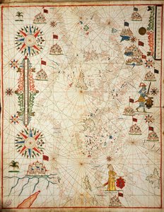
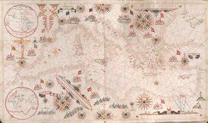
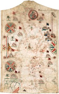
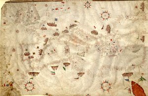
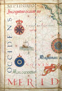
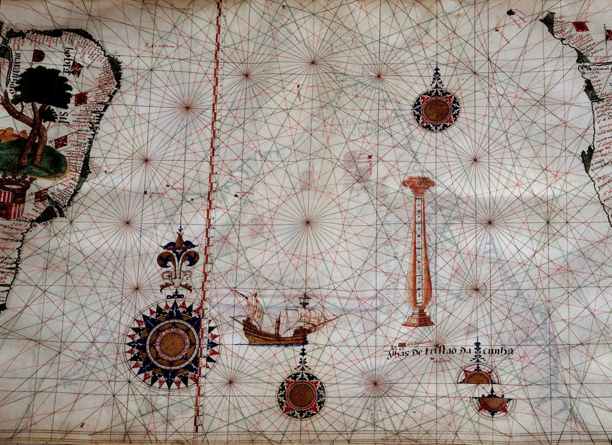
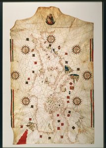
 - (MeisterDrucke-361554).jpg "Miniatyr nautisk karta över Medelhavet, 1584 (pergament)")
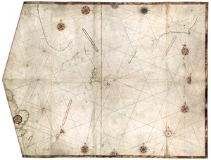
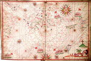
 - (MeisterDrucke-114359).jpg "Turkiets och Cyperns kust, från en nautisk atlas över Medelhavet och Mellanöstern (bläck på veläng)")
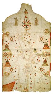
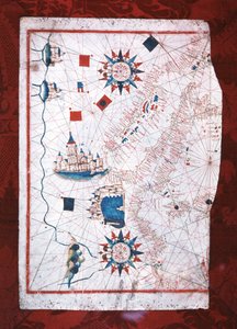
 - (MeisterDrucke-89043).jpg "Tunisiens kust och Gabesbukten, från en nautisk atlas över Medelhavet och Mellanöstern (bläck på veläng)")
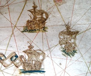
 - (MeisterDrucke-51910).jpg "Balkan, från en nautisk atlas över Medelhavet och Mellanöstern (bläck på veläng)")
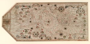
 - (MeisterDrucke-75377).jpg "De maritima städerna Genua och Venedig, från en nautisk atlas över Medelhavet och Mellanöstern (bläck på veläng)")
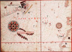
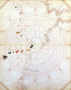
.jpg "Svarta havet och östra Medelhavet")
 (see also 330937-330938) - (MeisterDrucke-82399).jpg "Medelhavsområdet, ur en nautisk atlas, 1646")
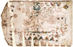
 (detail from 330924) - (MeisterDrucke-86863).jpg "Frankrikes, Italiens och Dalmatiens sydkust, från en nautisk atlas, 1651 (bläck på veläng) (detalj från 330924)")
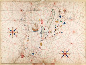
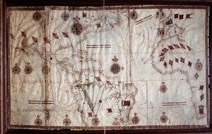

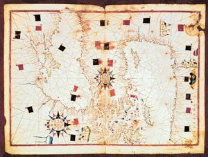
.jpg "Carte de la Mer Méditerranée")
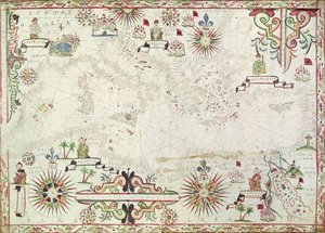
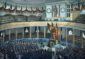
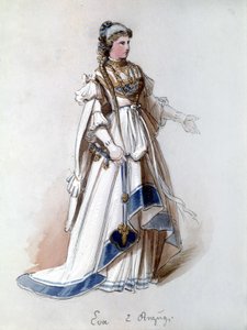

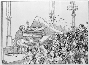
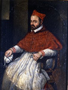


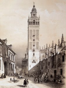

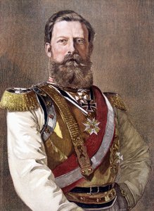

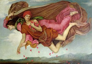
 c1865 - (MeisterDrucke-76268).jpg "Vägen till Bas-Bréau, Fontainebleau (Le Pavé de Chailly), cirka 1865")
.jpg "Den stora röda draken och kvinnan klädd i solen")
.jpg "Sjön, Petworth, solnedgång; provstudie")
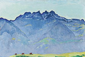
 - (MeisterDrucke-62585).jpg "Den stora grästuvan, 1503")

.jpg "Jungfrun med änglar")
.jpg "\"Mary Rose\"")
.jpg "Vinterlandskap med skridskoåkare och en fågelfälla, 1565")

 +43 4257 29415
 support@meisterdrucke.com
 Mo-Do: 7:00 - 16:00 | Fr: 7:00 - 13:00