-
 ×
- Hem
- Konstutskrifter ▸
- Konstnärer ▸
- Kategorier ▸
- Konststilar ▸
- Bildram ▸
- Tryckmedia ▸
- Alla tryckmedia
- Canvas Leonardo (satin)
- Canvas Salvador (matt)
- Canvas Raphael (matt)
- FineArt Photo Matte
- FineArt Photo Satin
- FineArt Photo Baryte
- FineArt Photo Glossy
- Akvarell Kartong Munch
- Akvarell Kartong Renoir
- Akvarell Kartong Turner
- Akvarell Kartong Dürer
- Natural Line Hemp
- Natural Line Rice
- Kozo White, 110g
- Kozo Natural, 110g
- Inbe White, 125g
- Unryu, 55g
- Bamboo, 110g
- Premio Unryu, 165g
- Murakumo Natural, 42g
- Bizan Natural, 300g
- Bizan White, 300g
- Aluminiumkomposit 3mm
- Acrylglas 5mm
- Beställ provexemplar
- Vilket tryckmedium passar?
Duk
Fotopapper
Akvarellkartong
Natural Line
Japanskt papper
Specialmedia
Mer information
- Hjälp & Service ▸
- Kontakta oss
- Sälj din konst
- Vanliga frågor
- Lediga tjänster
- Reklamation
- Beställ prover
- Beställ presentkort
- Fraktkostnader
- Produktionstid
- Hållbarhet
- Bildsökning
- Särskilda önskemål
- Vem är vi?
- Prispolicy
- Företagspolicy
- Kvalitetslöfte
- Utmärkelser
- Spännram
- Passepartouter
- Dekorativa ramar
- Glasning
- Lister
- Monteringssystem
- Tryckmedier
- Vårdtips
- Avtryck
- Villkor
- Dataskydd
- Ångerrätt
Info och service
Mer information
Värt att veta
Rättslig information
- Butik ▸
- Kontakt






 Visa i 3D/AR
 Lägg till i favoriter
 Välj väggfärg
 Se målningen i ett rum
.jpg "Detalj av Konstantinopel och Mellanöstern från kopian av Peutingerkartan")
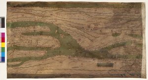
.jpg "Detalj av Italien från kopian av Peutingerkartan")
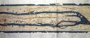
 an illustrated itinerarium of the road network in the Roman EmpireDetail of Italy from the Peutinger map copy - (MeisterDrucke-110655).jpg "Del av Tabula Peutingeriana (Peutinger-tabellen, Peutinger-kartan), ett illustrerat itinerarium över vägnätet i Romarriket. Detalj av Italien från kopian av Peutinger-kartan")
 - (MeisterDrucke-101695).jpg "Karta över Centraleuropa, 1486 (detalj av 157909)")
.jpg "Kopia av en Beatus-världskarta från 700-talet")

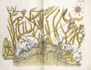
.jpg "Heilbronn und sein östliches Umland 1578")
.jpg "Detalj av Konstantinopel från Peutinger kartkopia")
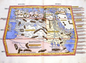
.jpg "Karta över Afrika, plansch 18 ur en världsatlas, 1486")

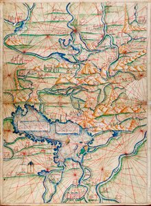
.jpg "Ms. Arabe 2221, fol. 203 och 204, karta över Medelhavet, Europa och Afrika, 1300")
.jpg "Karta över Frankrike, ur «Geographia»")
.jpg "Detalj av romerska Gallien från Peutinger kartkopia")
.jpg "Le Nuu Paia, mai se Atlas o le Lalolagi i 33 Faafanua, Venise, 1 Setema 1553 (vaitusi i luga o le vellum) (tagai foi 330965)swed")
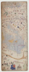
.jpg "A Geological Map [of] Manhattan Island of New York, 1842 (handfärgad litografi monterad på papper)")
 (see also 330964) - (MeisterDrucke-102741).jpg "Mellanöstern, ur en världsatlas i 33 kartor, Venedig, 1 september 1553")
.jpg "Klivers sömkarta i området av Ruhbachdalen")
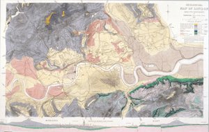
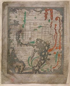
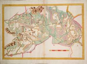
 - (MeisterDrucke-676887).jpg "Bayerska lantbord från 1568 (panel 10)")
.jpg "Planera och se slaget vid Waterloo med engelsmännens position i rött, belgarna i gult, preussarna i grönt och fransmännen i blått")
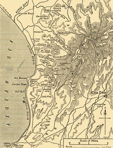
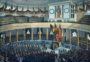

.jpg "Sokrates död")
.jpg "Man och kvinna, omfamning")
.jpg "En stig i Monets trädgård, Giverny, 1902")

.jpg "Natt: En hamn i månsken, 1748")
.jpg "Agnus Dei, ca 1635-40")
.jpg "Räven, 1913")
.jpg "Landskap, blommor och fåglar: plommonträd, Qingdynastin, 1780")


 +43 4257 29415
 support@meisterdrucke.com
 Mo-Do: 7:00 - 16:00 | Fr: 7:00 - 13:00