-
 ×
- Hem
- Konstutskrifter ▸
- Konstnärer ▸
- Kategorier ▸
- Konststilar ▸
- Bildram ▸
- Tryckmedia ▸
- Alla tryckmedia
- Canvas Leonardo (satin)
- Canvas Salvador (matt)
- Canvas Raphael (matt)
- FineArt Photo Matte
- FineArt Photo Satin
- FineArt Photo Baryte
- FineArt Photo Glossy
- Akvarell Kartong Munch
- Akvarell Kartong Renoir
- Akvarell Kartong Turner
- Akvarell Kartong Dürer
- Natural Line Hemp
- Natural Line Rice
- Kozo White, 110g
- Kozo Natural, 110g
- Inbe White, 125g
- Unryu, 55g
- Bamboo, 110g
- Premio Unryu, 165g
- Murakumo Natural, 42g
- Bizan Natural, 300g
- Bizan White, 300g
- Aluminiumkomposit 3mm
- Acrylglas 5mm
- Beställ provexemplar
- Vilket tryckmedium passar?
Duk
Fotopapper
Akvarellkartong
Natural Line
Japanskt papper
Specialmedia
Mer information
- Hjälp & Service ▸
- Kontakta oss
- Sälj din konst
- Vanliga frågor
- Lediga tjänster
- Reklamation
- Beställ prover
- Beställ presentkort
- Fraktkostnader
- Produktionstid
- Hållbarhet
- Bildsökning
- Särskilda önskemål
- Vem är vi?
- Prispolicy
- Företagspolicy
- Kvalitetslöfte
- Utmärkelser
- Spännram
- Passepartouter
- Dekorativa ramar
- Glasning
- Lister
- Monteringssystem
- Tryckmedier
- Vårdtips
- Avtryck
- Villkor
- Dataskydd
- Ångerrätt
Info och service
Mer information
Värt att veta
Rättslig information
- Butik ▸
- Kontakt






 Visa i 3D/AR
 Lägg till i favoriter
 Välj väggfärg
 Se målningen i ett rum
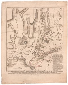

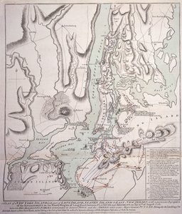
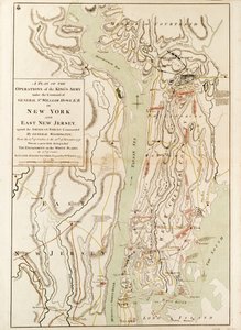
.jpg "En plan över New York Island, med en del av Long Island, Staten Island och East New Jersey, med en särskild beskrivning av förlovningen på Long Islands skogiga höjder mellan Flatbush och Brooklyn")
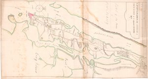
.jpg "En plan för staden New York och dess omgivningar till Greenwich på North (Hudson) River till Crown Point på East River, undersökt 1766, 1775 (litografi)")
.jpg "Plan över staden New York som visar det gjorda [sic] och sumpmark, 1856 (svart bläck på papper)")
.jpg "Karta över staden New York som lagts upp av kommissionärerna, 1814")
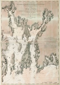
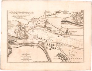
.jpg "Plan över staden New York i Nordamerika som undersöktes under åren 1766 och 1767, publicerad i Faden")
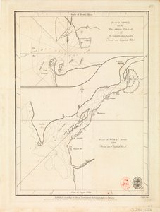
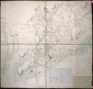
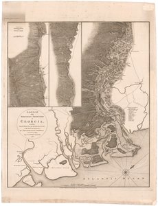
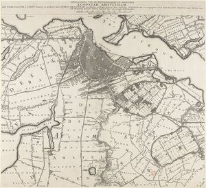
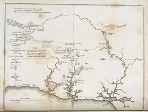
.jpg "Staden New York, enligt utformningen av kommissionärerna med det omgivande landet, av deras sekreterare och lantmätare John Randel, Jr., 1814, 1814 (Penna-och-bläck, akvarell på papper.)")
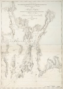
.jpg "Karta över New York Island med de intilliggande klipporna och andra anmärkningsvärda delar av Hell-Gate., 1778 (svart bläck på papper)")
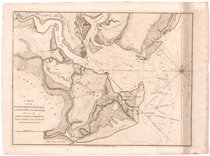
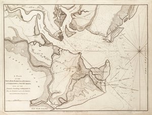
.jpg "En skiss över verksamheten före Charlestown, South Carolinas huvudstad, ca 1780")
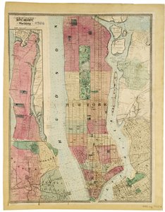
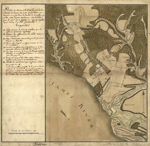
 - (MeisterDrucke-144044).jpg "Diogenes, 1860")

.jpg "Grammont")

.jpg "Kubistiska liljor")


.jpg "Asakusas risfält under Tuppfestivalen, omkring 1857")
.jpg "Kyrka i Cassone")
.jpg "Målning från Dykarens grav på den södra begravningsplatsen i Paestum, 480-470 f.Kr.")
.jpg "Ekoxe")
.jpg "Sankt Thomas tvivel, 1602-03")

 +43 4257 29415
 support@meisterdrucke.com
 Mo-Do: 7:00 - 16:00 | Fr: 7:00 - 13:00